

Physical map Lebanon
Price range: $ 12.50 through $ 22.00
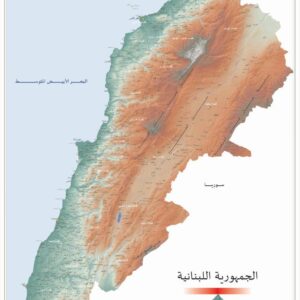
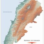
Physical map of Lebanon with two dimensions of 50×35 cm and 100×70 cm in the English version.
100% Made in Lebanon - صنع في لبنان
- Description
- Shipping & Return
Description
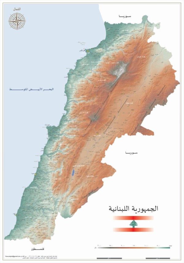
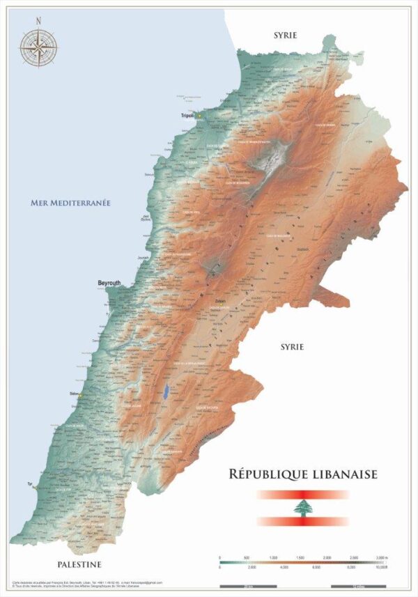
LebanonPostcard presents a very accurate physical map of Lebanon with two dimensions of 50×35 cm and 100×70 cm in the English version (Arabic and French version can be available as well).
Enjoy searching this 2017 map with a scale 1:200.000 and 1:430.000.
The map shows different colors for reliefs, spots for heights, permanent rivers, sources, lakes, national frontier, Mouhafaza, Caza, airports and more…
LebanonPostcard will be responsible for sending the map you order, through fast courier with a tracking number, guaranteeing reception of the package. The map may take between two and five days to arrive, according to the country it is sent to.
a. View or Modify What is in Your Shopping Cart.
When in the Shopping Cart area of the site you can view or modify what is in your shopping cart at any time by clicking on the Add More Items/Refresh Totals button along the bottom of your screen.
b. Checking Out and pay for your purchases online.
When you have finished viewing and wish to end your shopping and pay for the items you have selected, click on the Pay & Finish button at the bottom of your screen.
You will be led through a series of secure ordering procedures and will be asked to fill in personal, shipping and payment option information. When this is completed, you will press the Submit Secure Checkout button and your order will be transmitted to LebanonPostcard for fulfillment.
Absolutely not! Right up until the point why you are asked to review the order information you have given us and if it is correct to click on the final Submit Secure Order button, you can abort the order.
If you don't press the Submit Secure Order button then no order information is transmitted to us.
a. Payment by Credit Card
We accept American Express, MasterCard, Visa, Discover, PayPal... etc... for online payments through 2CheckOut.com. Also, arrangements can be made for bank draft and certified check payments by regular post.
b. Payment by Bank Draft and Certified Check
If you would prefer to pay for your purchases by mail, then you have to contact us first so we can give you our account information.
c. We accept as well payment through WesternUnion, RIA, OMT, BOB Finance, Whish Money.
All prices include shipping and handling. LebanonPostcard will be responsible for sending the packages you order, at your charge, through the service D.H.L. / E.M.S. with tracking number code guaranteeing reception of the package.
We ship as soon as possible, but within maximum 4 days after the order is received.
Credit cards are not charged until we actually ship the items. The items may take between one and six days to arrive, according to the country they are sent to.
Packages are sent with track code to guarantee reception, and delay is rare. In the event of non-delivery or delay, nothing can be done for 7 days. At the end of this period, on our being informed, a demand will be made for the package to be traced. If 14 days after the first dispatch there is still no delivery, a second package will be sent free.
Packages inside Lebanon are sent registered through LibanPost to guarantee reception, and delay or non-delivery is rare. In the event of non-delivery, nothing can be done for 6 days. At the end of this period, on our being informed, a demand will be made to LibanPost for the package to be traced. If 12 days after the first dispatch there is still no delivery, a second package will be sent free.
We ship anywhere in the world. Zones and countries we ship to
Yes. You can cancel you order when you receive an email from us confirming your order, you can reply by canceling it.