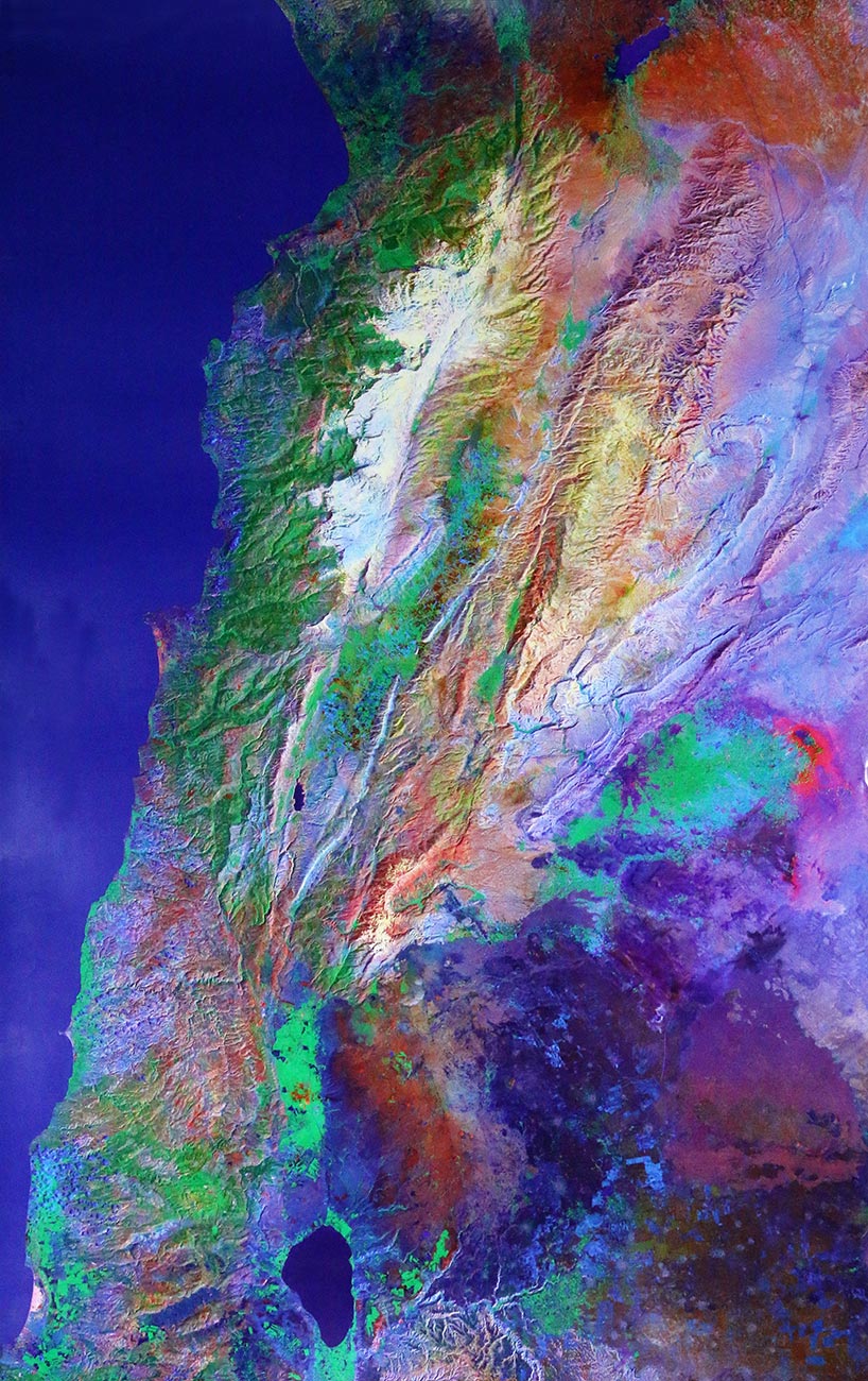
Satellite Earth high-resolution image of Lebanon from Space reproduced on paper of high quality – Size: 127 x 78.5 cm
Satellite capture of Lebanon – Map
$24.00
Description
In this category, LebanonPostcard presents an interesting and unique satellite capture of Lebanon on a map.
The photography of Lebanon offered to you proceeds from a mosaic of satellite digital picture putting the country and relief to the fore, using the most modern techniques.
This achievement is the fruit of months of intensive work for the selection and assembly of colors and contrasts bringing out the green spaces, plains, fields, mountains, and valleys of Lebanon.
Satellite Earth high-resolution image of Lebanon from Space reproduced on paper of high quality – Size: 127 x 78.5 cm.
LebanonPostcard will be responsible for sending the map you order, through fast courier with a tracking number, guaranteeing reception of the package. The map may take between two and five days to arrive, according to the country it is sent to.
Additional information
| Weight | 0.80 kg |
|---|---|
| Dimensions | 1 × 1 × 1 cm |


