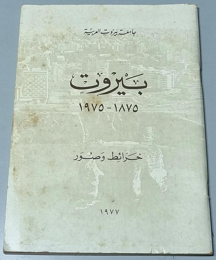
جامعة بيروت العربية - بيروت 1875 - 1975 - خرائط وصور
-
-
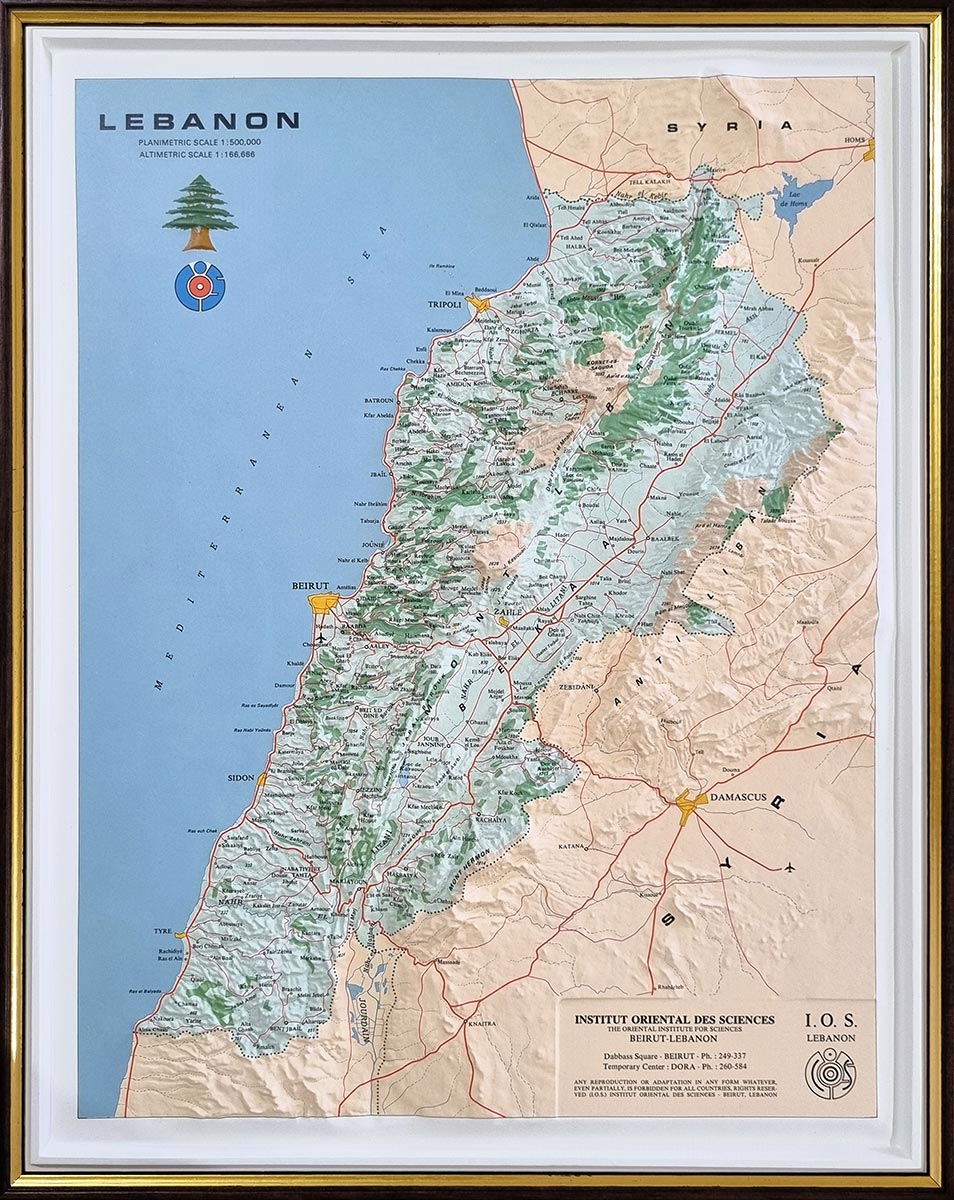
3d map of Lebanon - 48.2×38 cm - Planimetric Scale: 1:500.000 - Altimetric Scale: 1:166.666
-
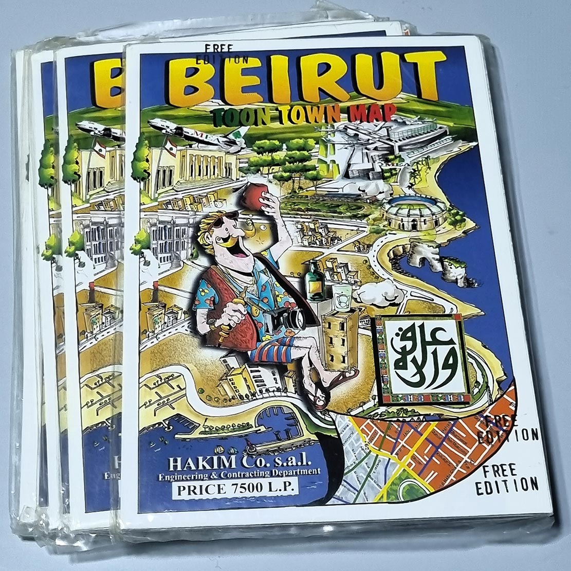
Beirut Lebanon "Toon Town Map" 97x68 cm (recto-verso).
-
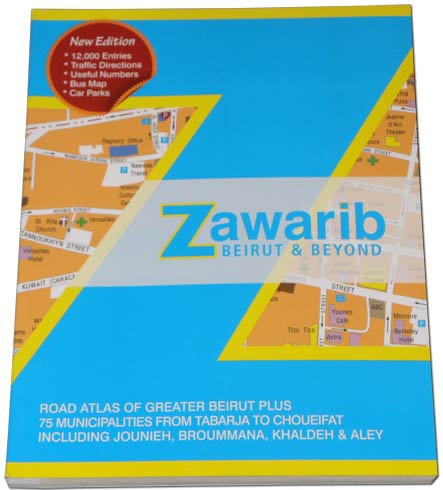
Book Zawarib Beirut showing high details corners of the capital and this time even Beyond Beirut.
-
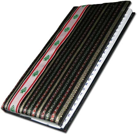
2 Booklets: Diary notebooks and phone books embroidered with cloth and the national colors and Cedar emblem.
-
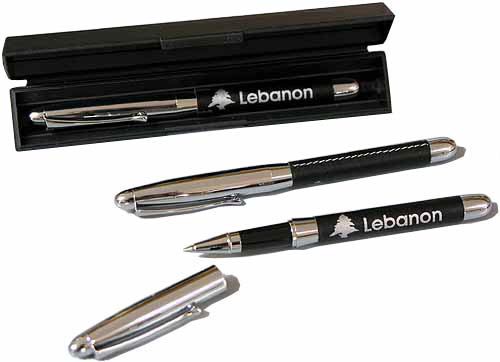
Stainless steel elegant pen leather-lined and marked with the Cedar of Lebanon.
-
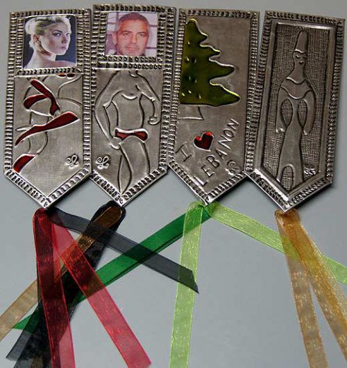
Elegant hand-made book-markers from plates of tin. Each bookmark represents a Lebanese character.
-
10 handmade rustic pencils set from natural tree branches.
-
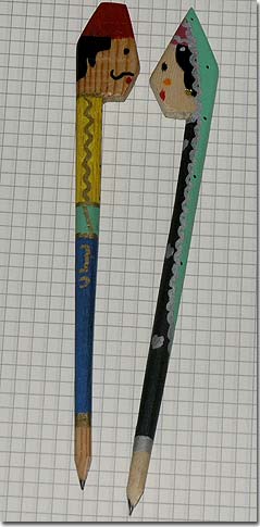
Two handmade painted wood pencils, representing male and female Lebanese characters.
-
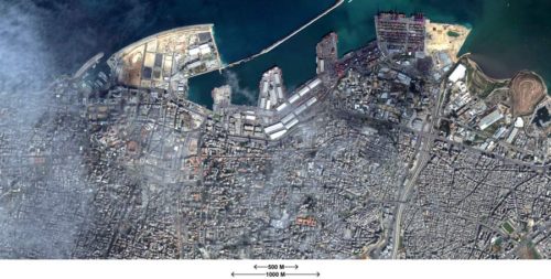
LebanonPostcard.com offers a Google satellite map in very high resolution printable on paper A1.
-
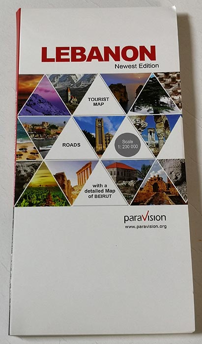
A complete guide of Lebanon with a city map of Beirut and Beirut Central District. The Map presents road maps, highways, main roads, secondary roads, railways - 2020
-
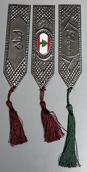
Elegant hand-made book-markers from pewter. Each bookmark (16.5cm) represents a theme: Lebanese Flag, Lebanon, Lubnan.
-
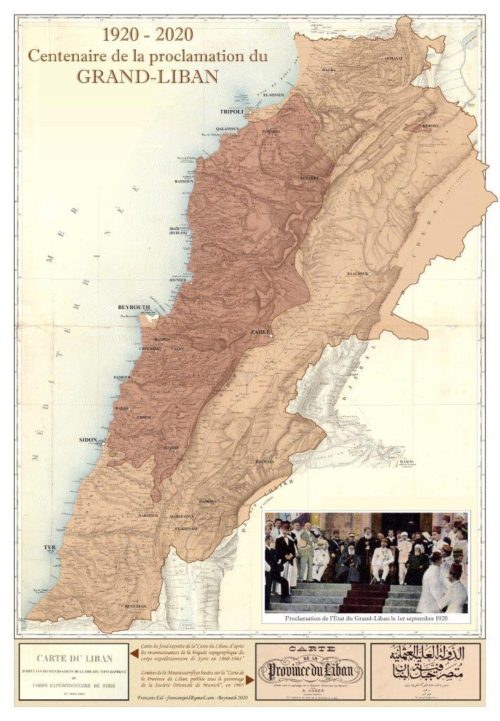
Map of the Centenary of the Proclamation of the State of Greater Lebanon, 1920 - 33x48cm, printed on cardboard, in English, French or Arabic version.
-
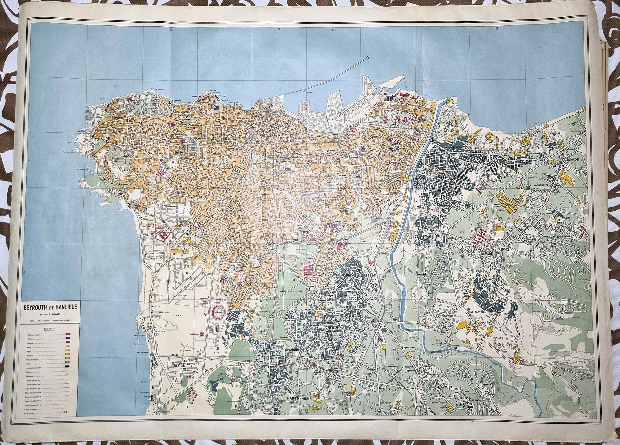
Map of Beirut 117.8x73 cm - Showing Beyrouth et Banlieue - Echelle 1/10000
-
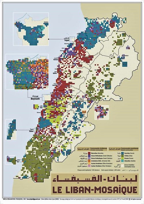
Map showing the diversity and placement of religious communities in Lebanon by Mr. Francois Eid.
-
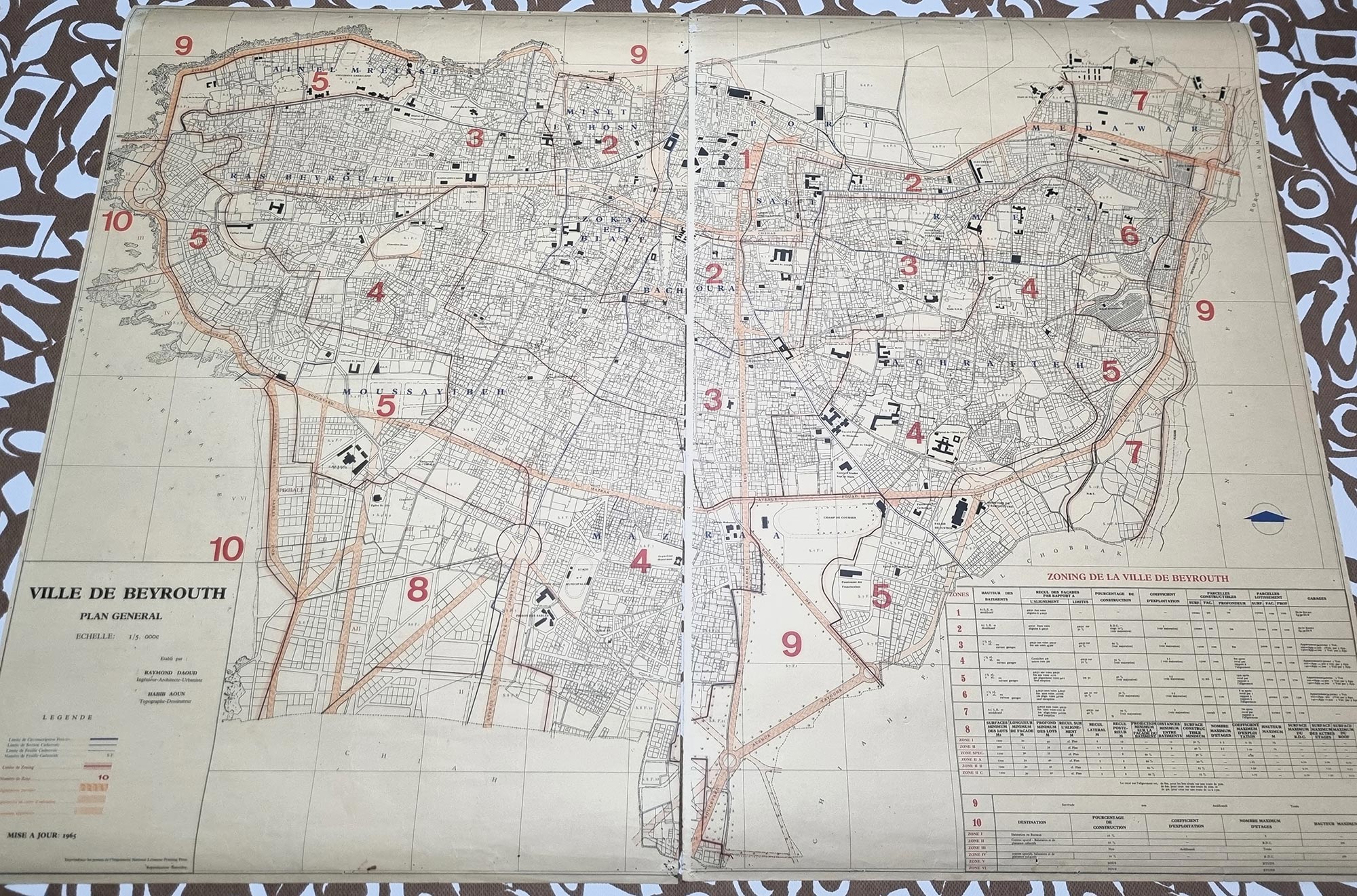
2 Maps of Beirut 97x67 cm - 1965 - Zoning de la ville de Beyrouth.


