


Lebanon Postcard invites you to explore, through its site, the richness of the land of Lebanon whose history began 10.000 years ago. As part of the biblical “land of milk and honey”, the Phoenicians built their ancient cities and sailed into the Mediterranean Sea to explore and trade. The Wealth of the Greek, Roman, Byzantine, and Arab civilizations have all left their mark on this beautiful land.
We need your support to be able to make progress. Lebanon Postcard is the best place for finding your Lebanese gift souvenirs! Take your time to surf the site… our products are made by Lebanese people living in Lebanon. Thanks again for spending some of your time visiting our site! Let’s all work to show a new Lebanon with new eyes, a country we can be proud of!
Best offers: Ceramic coffee cups – Folklore statuettes – Presidents of Lebanon artworks – Miniature paintings, Lebanese traditions
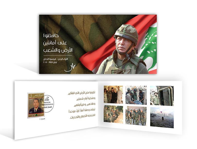
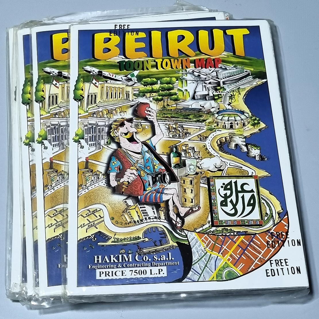
POSTCARDS
Offering many types & sizes of postcards from Lebanon: Art postcards, cooking recipes postcards, greeting cards from Lebanon, old Lebanon postcards, Gibran Khalil postcards, and many more…
POSTERS
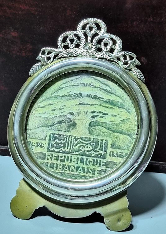
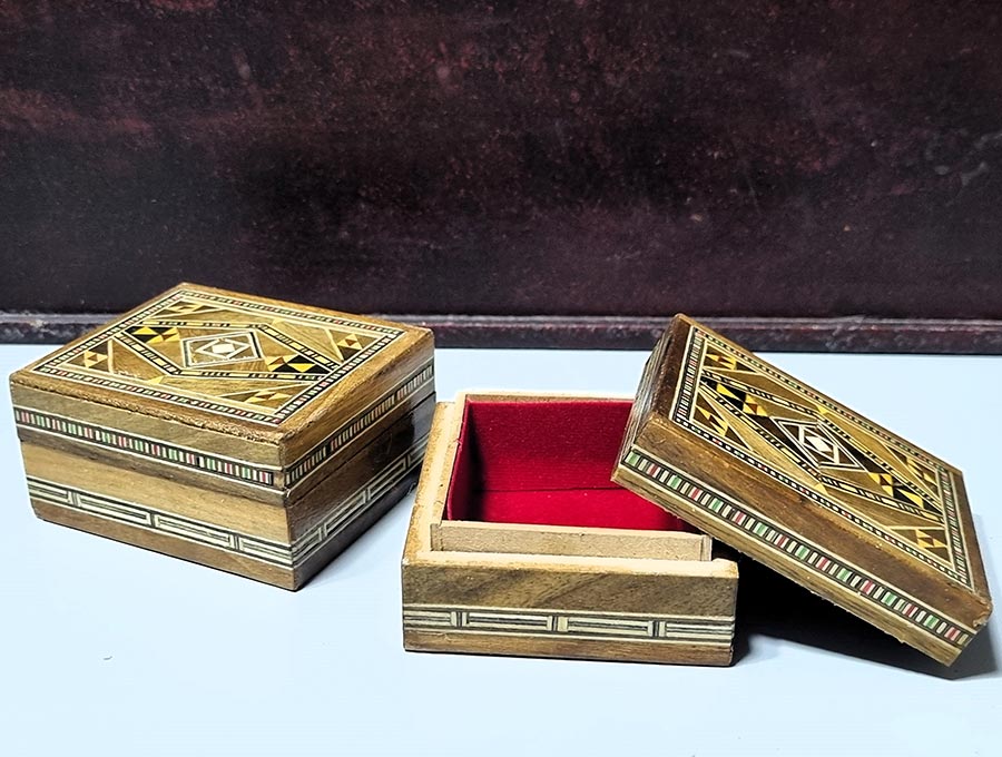
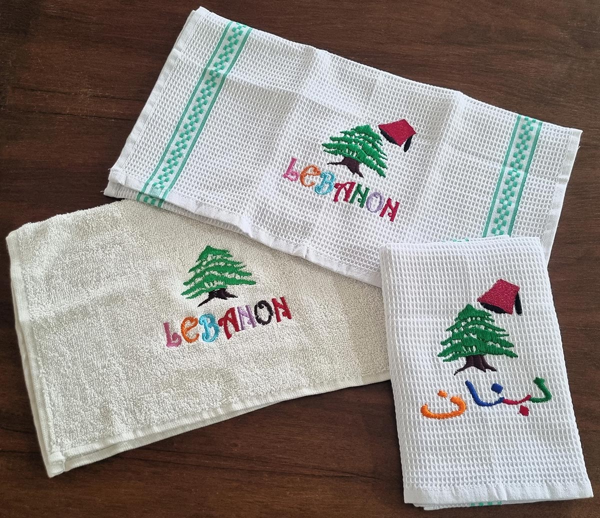
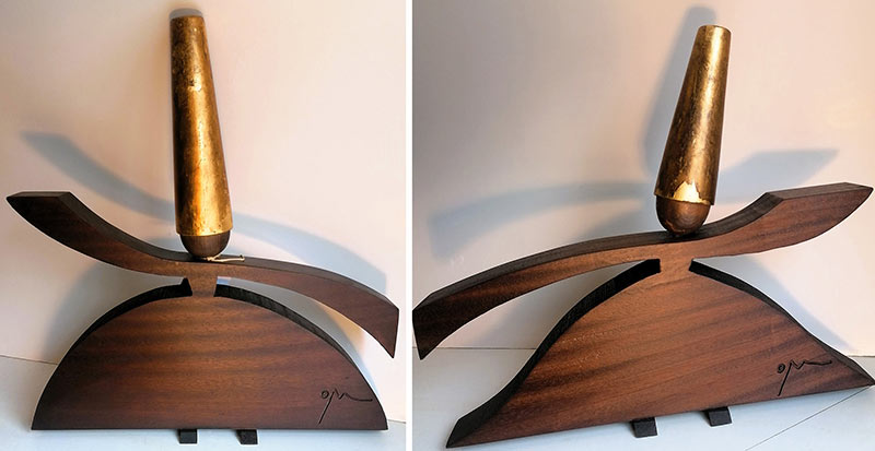
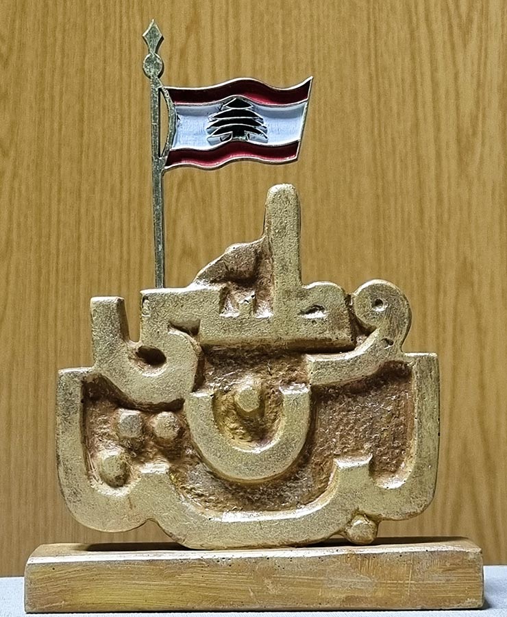
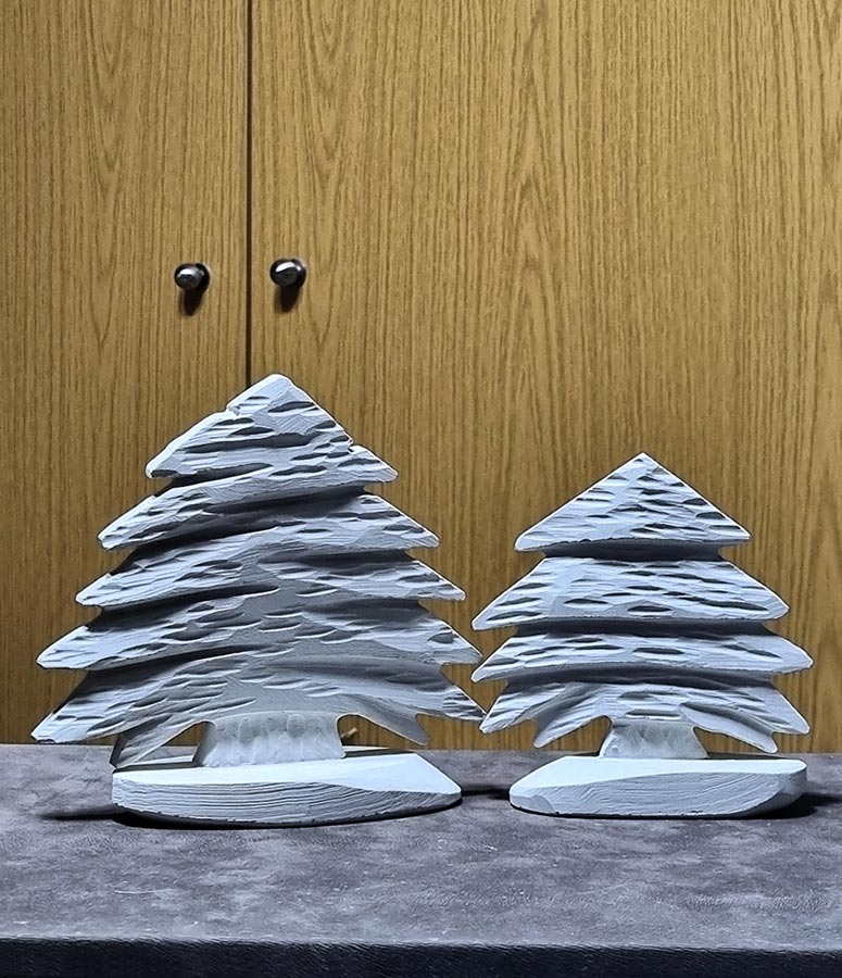
SOUVENIRS
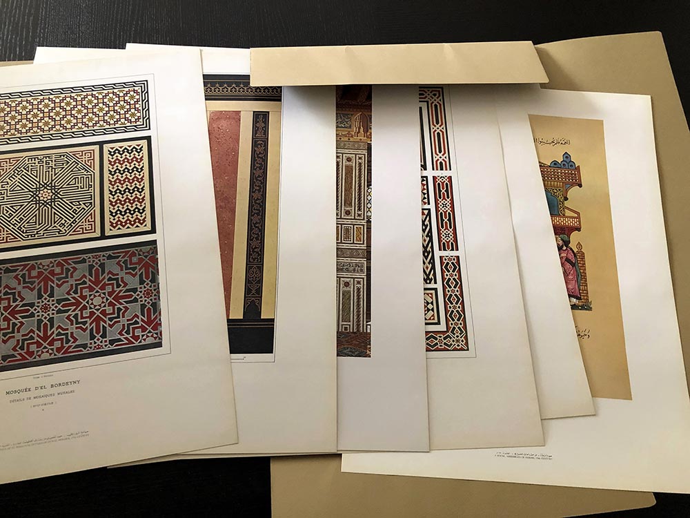
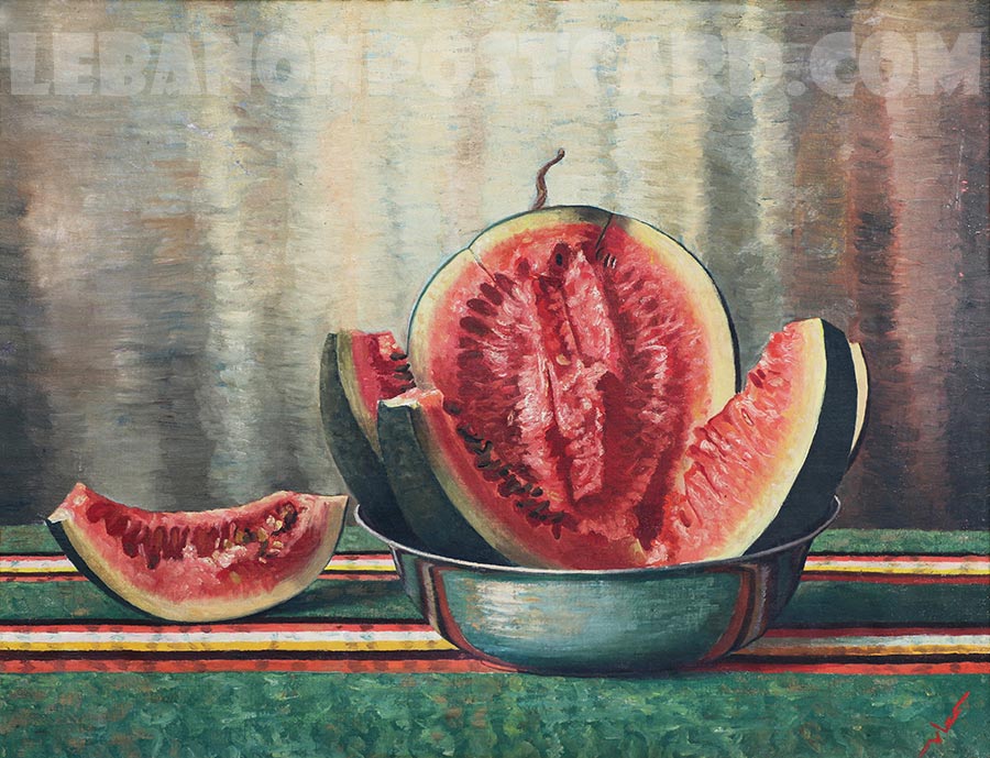
ART PRINTS
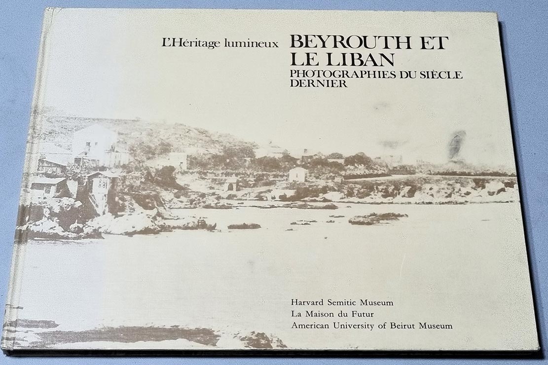
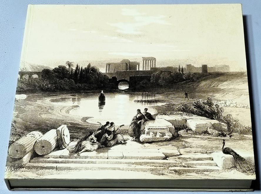
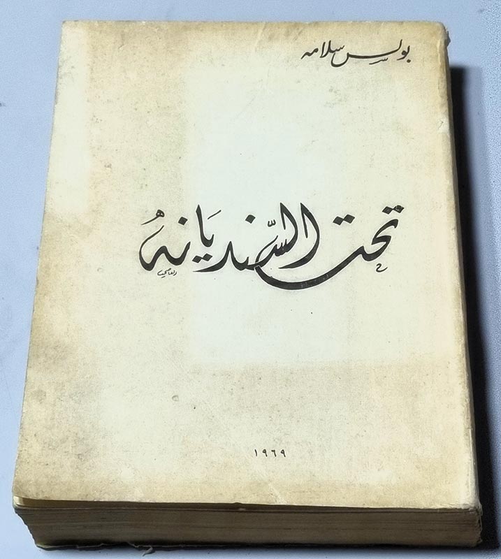
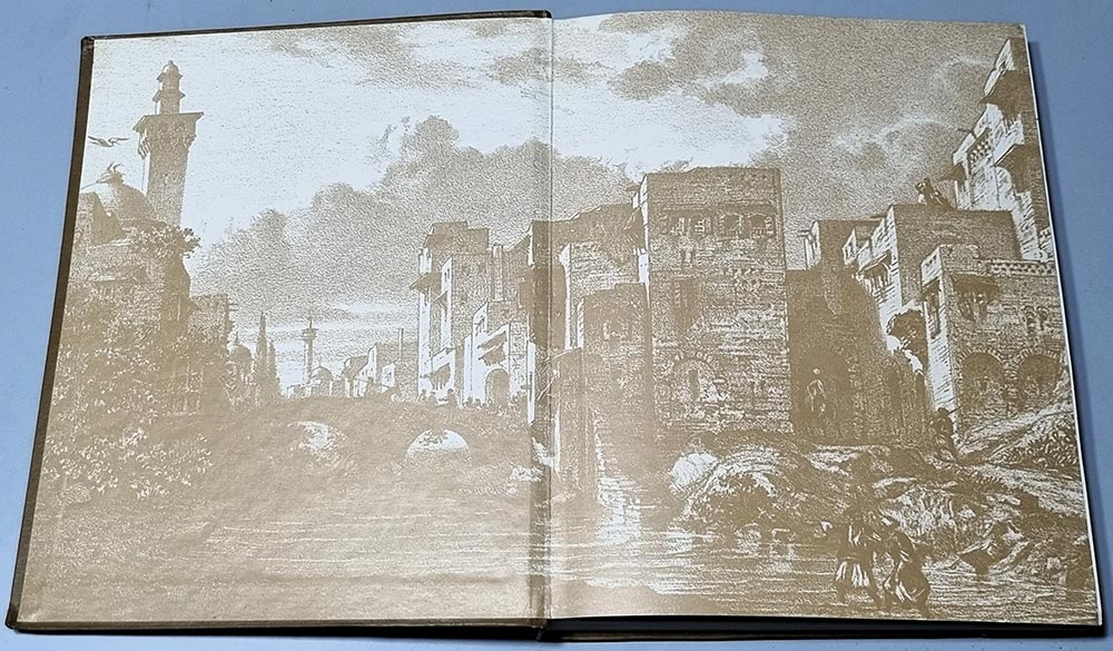
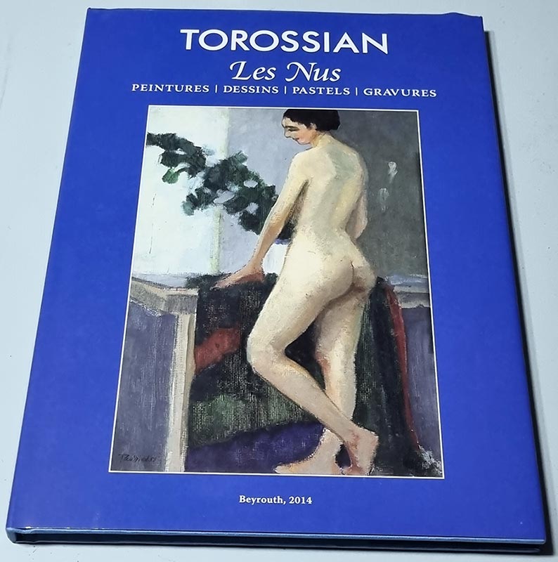
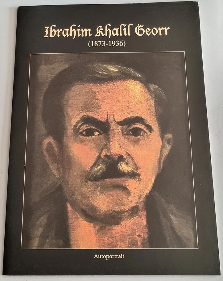
BOOKS
FOOD
MEDIA


William Matar offered excellent customer service and his communication was perfect. Would not hesitate to use them again!
TIMBREOLIBAN 1918-1982… a must have specialized catalog for Lebanese Stamp collectors. Easy to read and very informative. Delivery on time, and great customer service .
Thx so much for taking care of all steps.
Amazing experience, it took a couple of clicks to order, received shipping confirmation in less than 24 hours and package received before promised date. Strongly recommend buyer.
Thank you for your service, my order had been received on time and with a good way of dealing and service.
I was happy to receive my book that fast. I will buy again from you if I needed something else. Excellent follow-up. Thanks a lot.
Your Excellent Lebanon. Thanks and Merry Christmas and Happy New Year 2013.
I’m very happy with the water globes I purchased. Delivery to my home in the UK was extremely fast – my order arrived just over 24 hours after being dispatched from Lebanon – and the items were packaged very securely. Excellent service overall.
I ordered a 2012 Wall Calendar and the process could not have been more simple. I shall certainly shop again on this website.
Mr. William Ya3tik el 3afieh, you are very kind
OUR PARTNERS


