

-
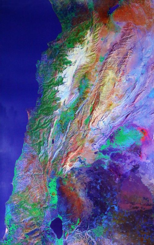
Satellite Earth high-resolution image of Lebanon from Space reproduced on paper of high quality - Size: 127 x 78.5 cm
-
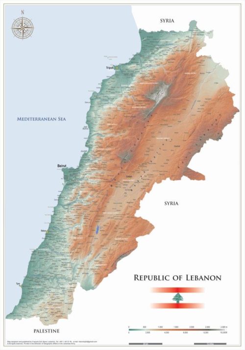
Physical map of Lebanon with two dimensions of 50x35 cm and 100x70 cm in the English version.
-
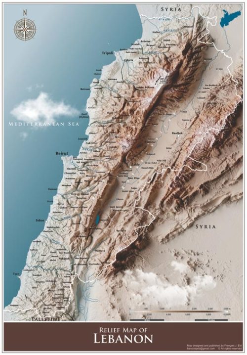
Relief map of Lebanon of 48.5×33 cm in the English version.
-
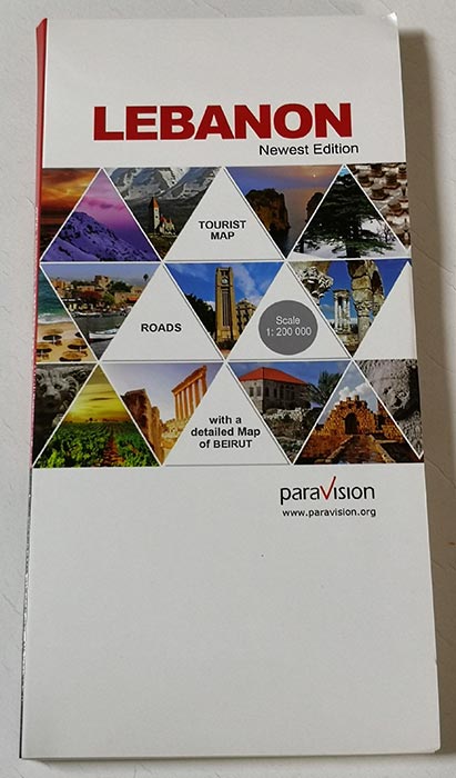
A complete guide of Lebanon with a city map of Beirut and Beirut Central District. The Map presents road maps, highways, main roads, secondary roads, railways - 2020